Speaker: Jeremy Pollard, US 3D General Manager, Aerometrex
Presentation Abstract:
A key challenge for the GIS industry is finding effective and compelling ways to communicate complex ideas to the people it affects, to enable better decision making. The emergence of game engines in the geospatial industry leads to a powerful opportunity to replicate the real world in a compelling way. Presenting 3D spatial data with a high degree of photorealism enables everyone to understand proposed scenarios and make meaningful decisions based on accurate information.
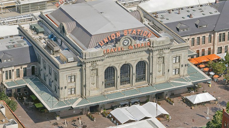
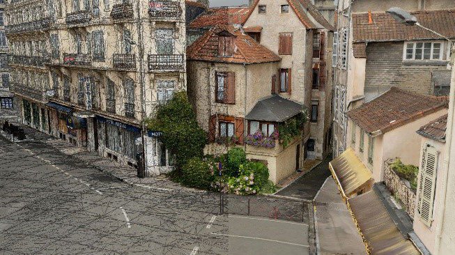
Starting with high-resolution street-level photogrammetry gives the most relatable sense of space currently possible – we can recognize details and connect with it. However, this level of fidelity is not always needed or wanted when working at city-scale, which is where multiscale data comes in.
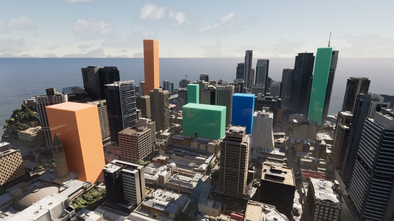
Capturing imagery at different resolutions, from different platforms, can maximize efficiency and best address the actual needs. These imagery sets can be combined using photogrammetric techniques to produce a seamless 3D mesh optimized for project needs.
Using such multiscale 3D models in game engines allows the creation of experiences adapted to the stories we want to tell. “Bird’s eye” overviews of entire cities provide context, while a seamless transition into street-level exploration of key focus areas creates an immersive environment in which to focus on details and make better decisions.
Speaker: Jeremy Pollard, US 3D General Manager, Aerometrex