Any client who needs accurate 3D data and insights will benefit from our services. Some of the main industries/applications we serve are:
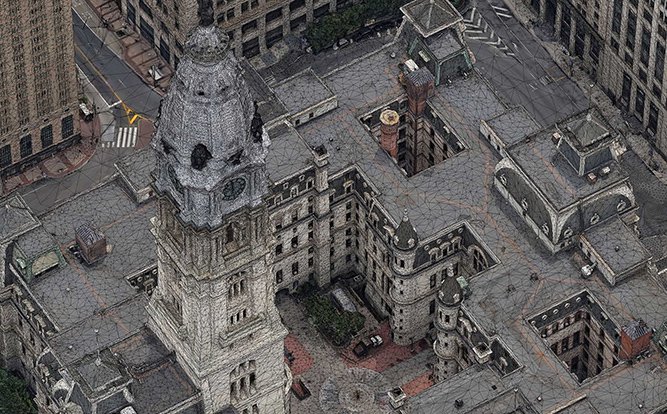
Use 3D city models for analyzing changes, extracting 3D information, digitising features and communicating through 3D visualization.
We build 3D reality mesh models with geospatially accurate and photo-realistic imagery. You can use real 3D information to improve existing and future engineering and construction work analysis. Your teams can analyze potential obstructions/limitations to proposed concepts and keep track of the various phases of your construction project by extracting information over time with multi-date captures. Use 3D visualization to communicate complex information using interactive and intuitive 3D visualization software
Up-to-date information aids the survey of potential sites to near-real-time progress reports that reduce the need for onsite surveys.
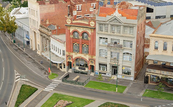
Our 3D modeling helps offer a geographically precise, fully textured three-dimensional overview of your area of interest. With this information integrated into a GIS or 3D rendering software you can add your site designs and communicate spatial information to stakeholders. Planners can understand how these designs fit in their surrounding environment from any possible location in space and analyze their impact.
Showcase your properties and real estate projects using eye-catching high-resolution 3D models. Conduct research remotely to assess current and prospective property assets using 3D reality mesh models.
With accurate & detailed 3D models, you can know your property’s surroundings in more detail. Agents and sellers can highlight distances and routes to key locations; schools, health facilities, recreation centres and supermarkets. The model adds visual context to the information for prospective buyers. Drive your marketing efforts with high resolution, up-to-date 3D visualization.
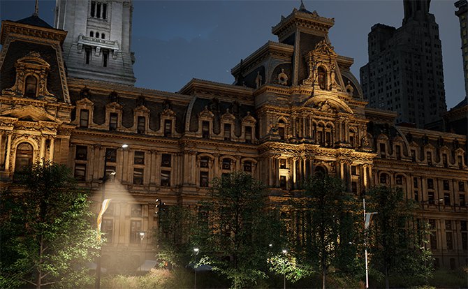
Create stunning animations, 360-degree panoramic views for commercials, advertising, video-games and virtual reality applications. We can build your 3D model for real-time visualization to make emotional experiences.
3D models also provide invaluable base datasets to plan large events. You can design and model fencing, traffic management, and crowd control features within a realistic model of the environment. Manage every element within your event space to ensure everything runs smoothly.
Perform accurate sun and shade analysis by including surrounding objects and street furniture
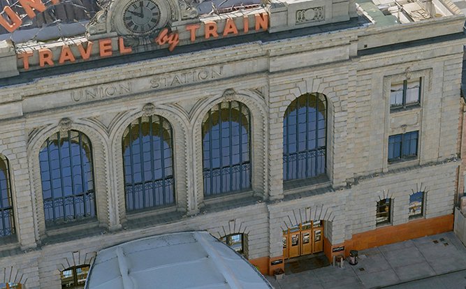
3D city models provide a 3D snapshot in time to better understand the present and plan for the future. Analyze the impact of your designs in their current surroundings so you know exactly what will change.
3D city models integrated with additional spatial data is a key element of making cities smarter.
We use a mixture of manual and AI-driven processes to classify objects as buildings, trees, and others. Each classified object can then have databased information applied to it. Interactive 3D GIS solutions like ESRI ArcGIS Urban, Skyline’s TerraExplorer or Cesium then allow users to interact with and query the integrated classified 3D data. Read more about How our classified models help smart city planning.
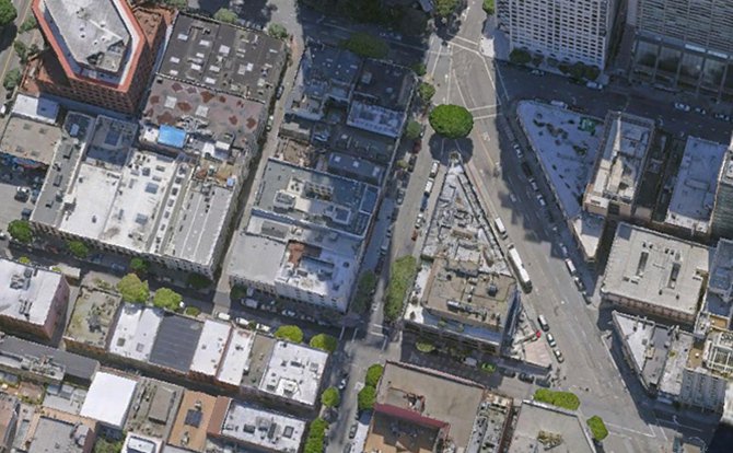
3D reality models are increasingly providing an added dimension to intelligence surrounding tele-network infrastructure. We derive accurate Digital Surface Models from 3D mesh models for telecommunications analysis.
Our geospatial products help telecommunications networks throughout their lifecycle, from planning and design to infrastructure maintenance. 3D models of a network’s areas of interest can include layered views of building footprints, classified land cover, tree contours and their heights – all critical information to analyze line-of-sight potential for 5G sensors, helping to create the best strategy to optimize networks. With tailored 3D information, telecom companies can virtually analyze urban and residential areas to determine the optimal locations for 5G sensors and maximise signal output.
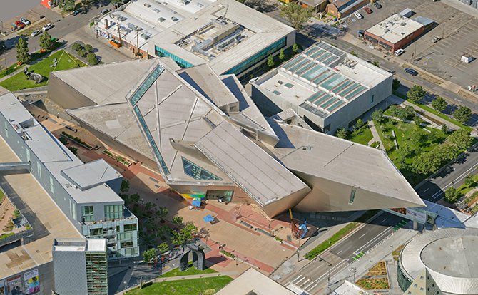
Our 3D models are used in conjunction with 3D geodatabases for numerous insurance applications. 3D models are quite useful for extracting specific features through AI and machine learning, as it captures a greater range of geospatial information.
With greater detail via 3D modeling, the features extracted from 3D provide some key benefits such as:
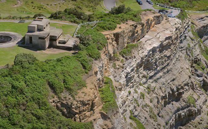
3D reality models help risk reduction initiatives by identifying hazard zones associated with flood plains, coastal inundation and erosion, and bushfires. Models can verify hazard and loss models by measuring the location and magnitude of actual events.
3D city models are beneficial in providing near-realistic effects of any disaster. It can virtually simulate disasters (fire, flood, etc.) with great precision and prepare authorities for any potential losses. Models will help administrators carefully plan the management of rescue and resource mobilization.
Accurate 3D analysis of coastline, quantitative 3D change detection and volume analysis with multi-date captures, improves existing coastal management plans
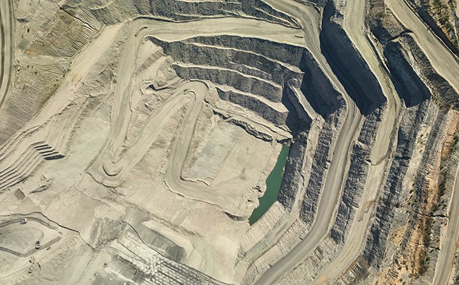
3D mesh models are useful to capture mining and quarry sites including undercut and vertical structures. 3D change can be performed using multi-captures as well as volume analysis. Such models form a useful 3D base dataset to extract critical 3D information and improve the planning and management of quarries and mine sites.
3D models are especially useful for accurate measurement of stockpile volumes, 3D rock-face analysis, progress monitoring, and to communicate complex information in 3D to various stakeholders.
3D data can benefit your mine site through its entire life cycle. From planning to rehabilitation, getting accurate and regular captures of your site makes a more profitable, efficient, safe, and compliant mining operations.